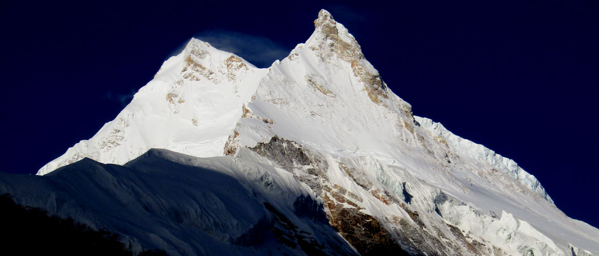
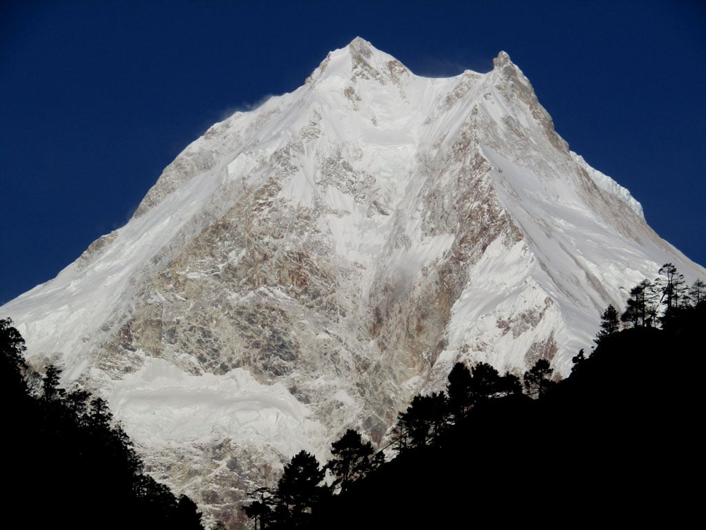
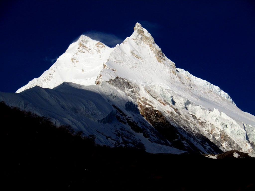
Manaslu, at 8,163m, is the 8th highest mountain in the world. But that bare fact doesn’t convey
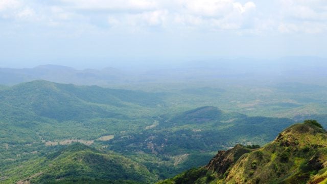
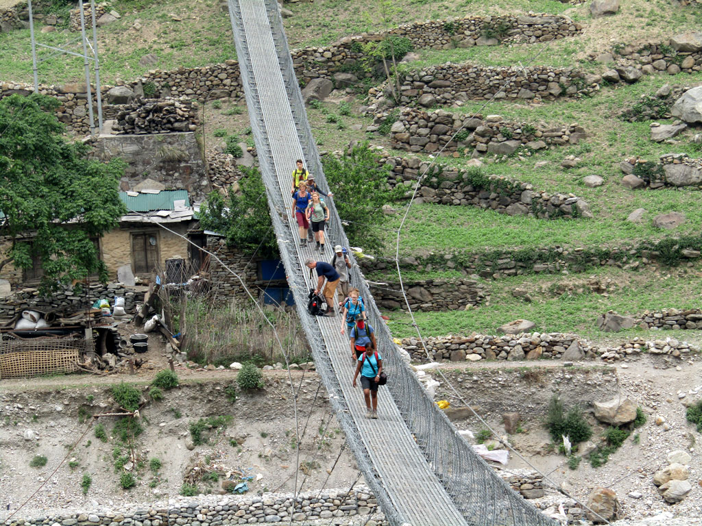
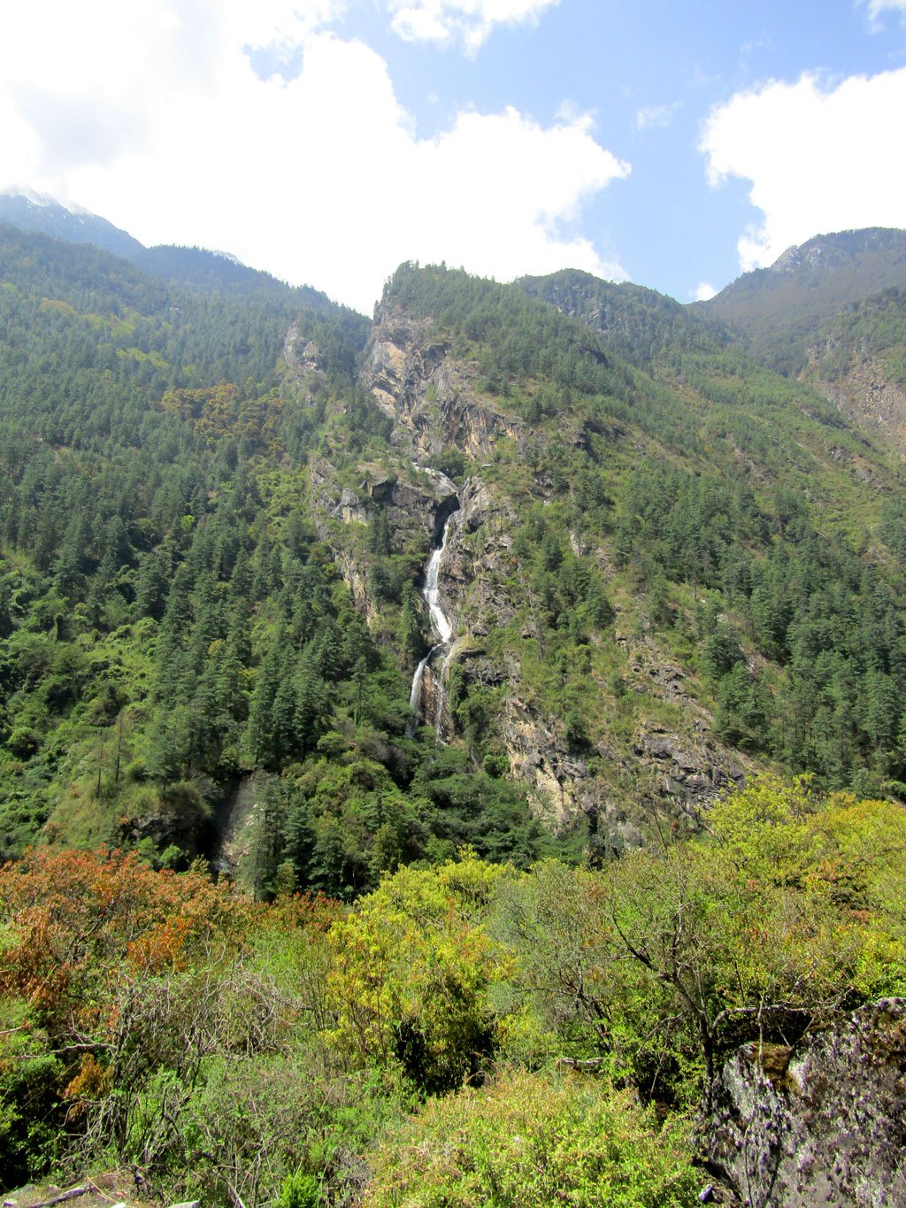
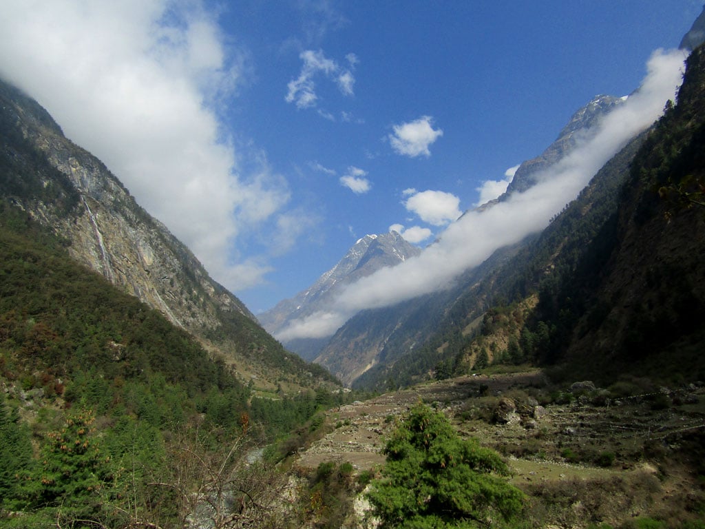
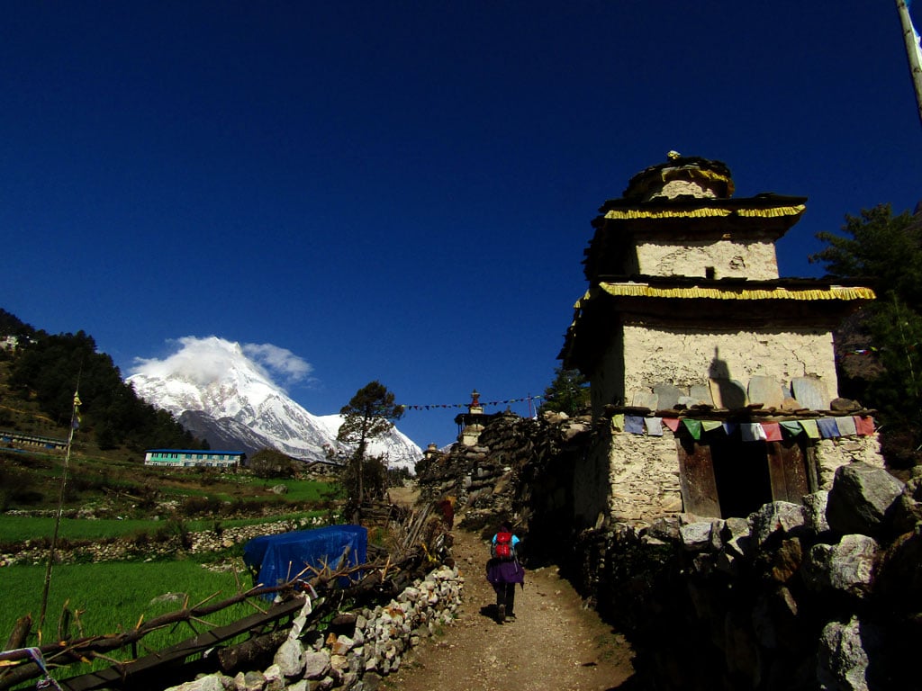
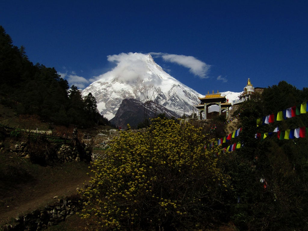
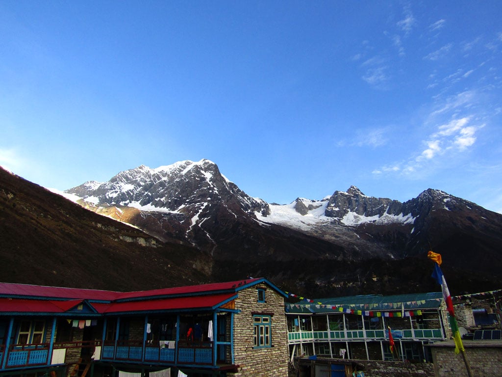
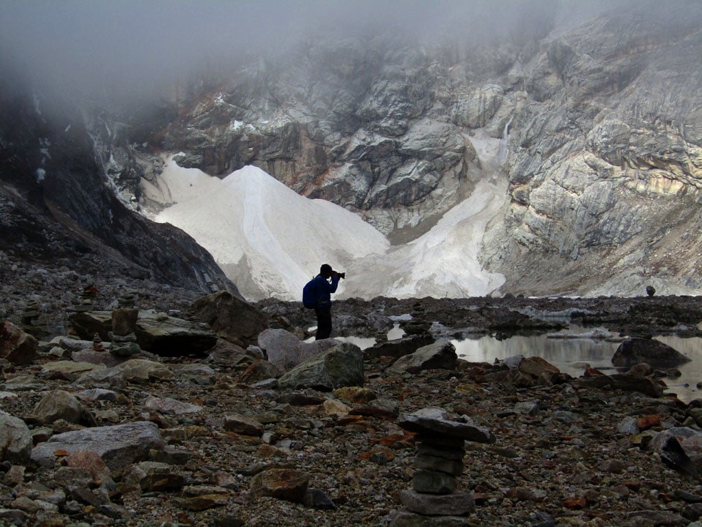
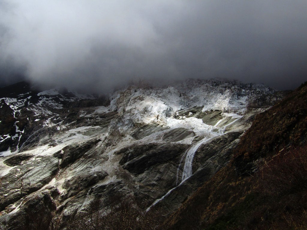
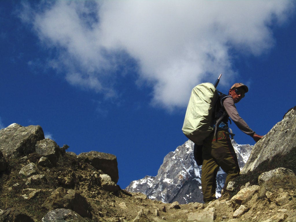
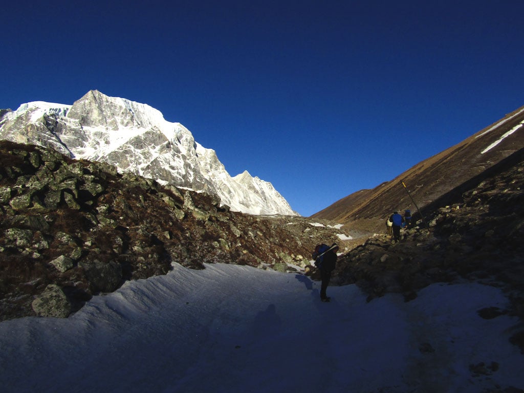
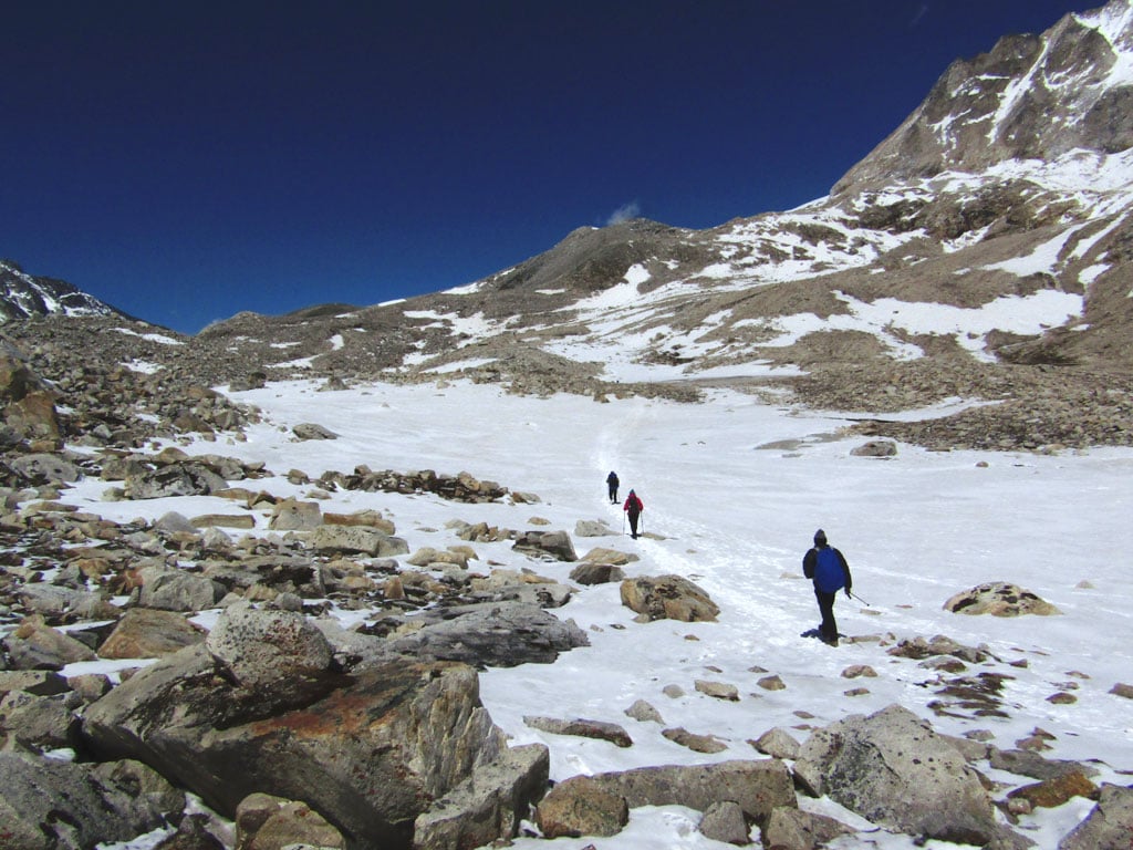
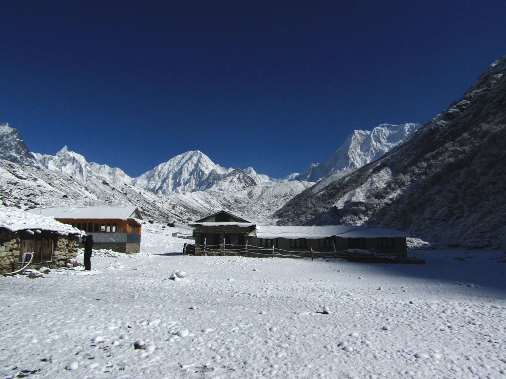
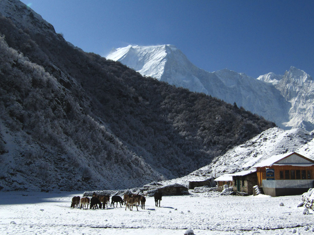
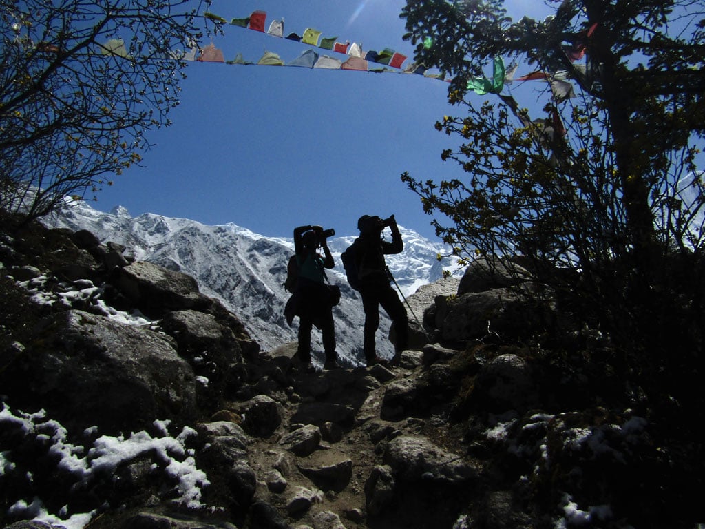
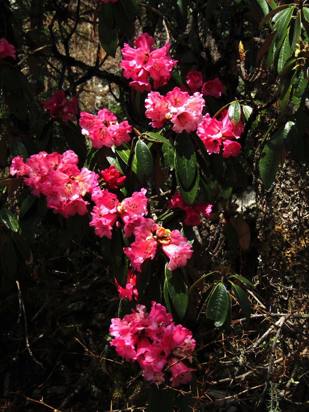
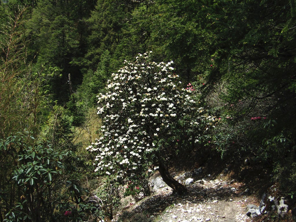
The Manaslu Circuit is quite special for many reasons. One of these is due to the fact that you pass through all the different climactic zones of the Himalaya when you do this trek. Starting at the village of Soti Khola at around 500m, the trail passes through temperate forests, deep gorges, forests of pine and rhododendron and high meadows above the treeline before traversing glaciers and climbing up to the 5,100m Larkye La at the head of the Budhi Gandaki valley.
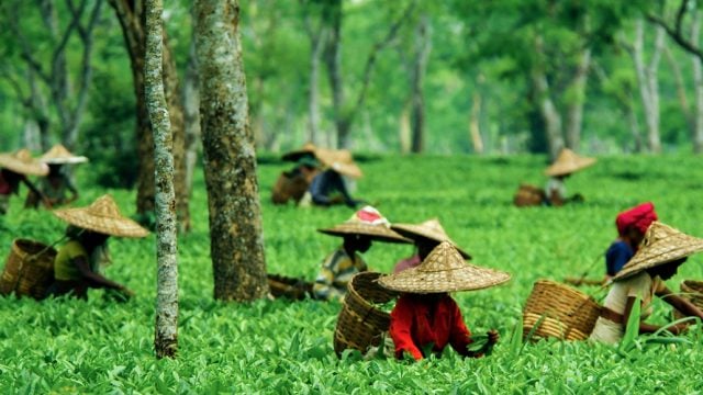
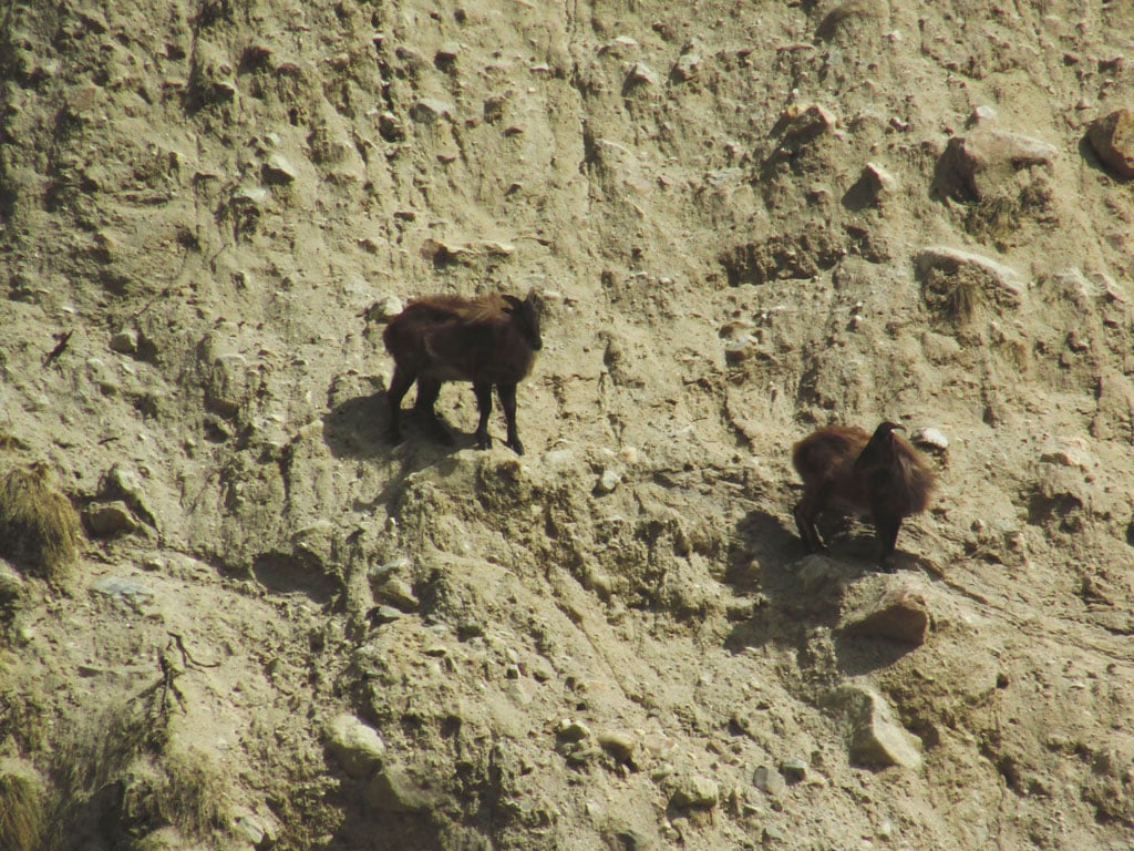
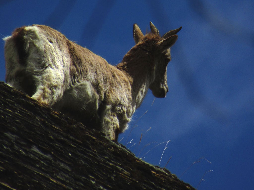
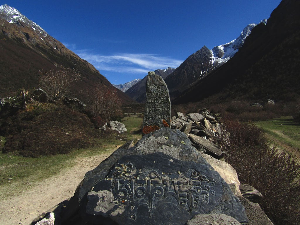
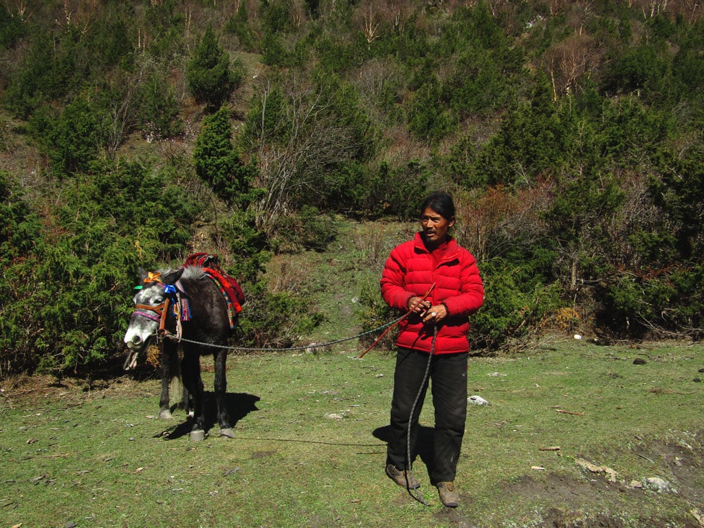
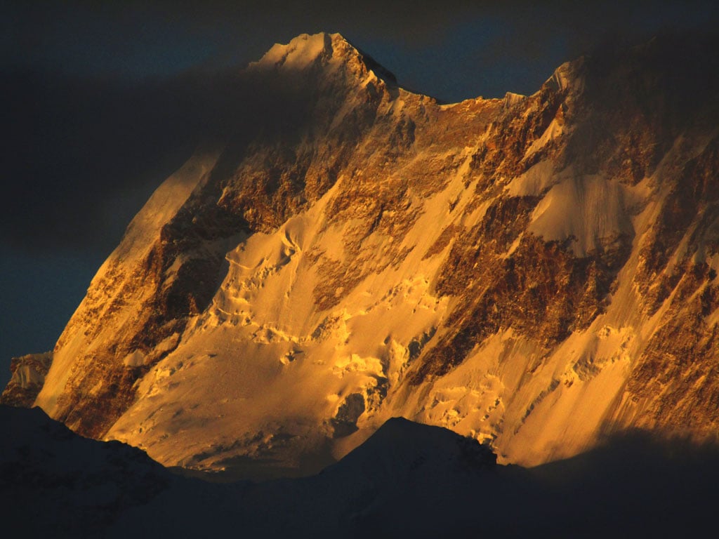
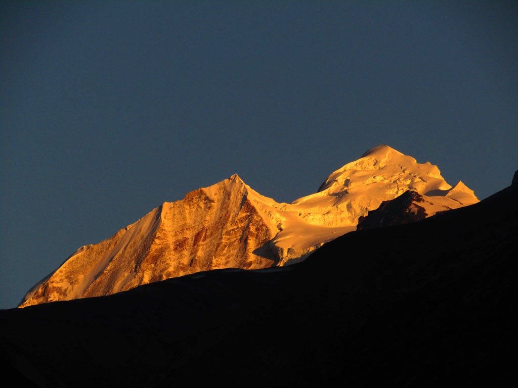
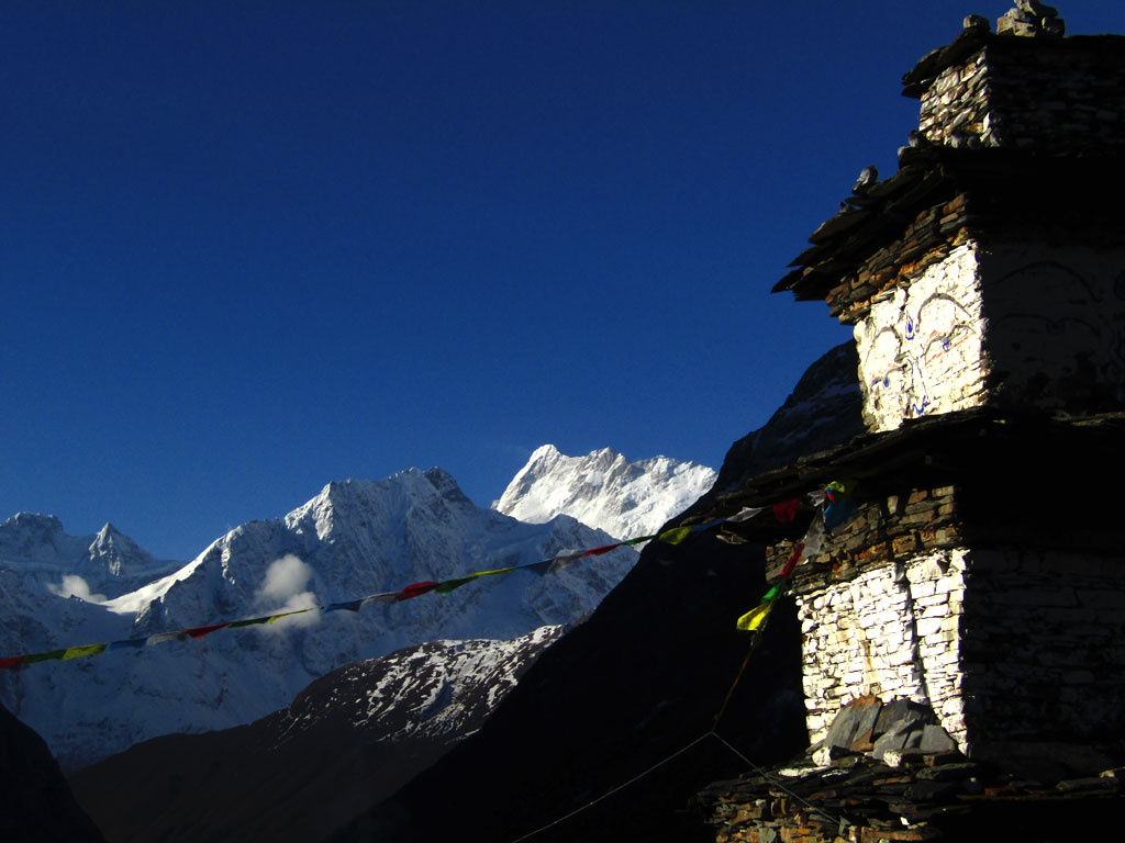
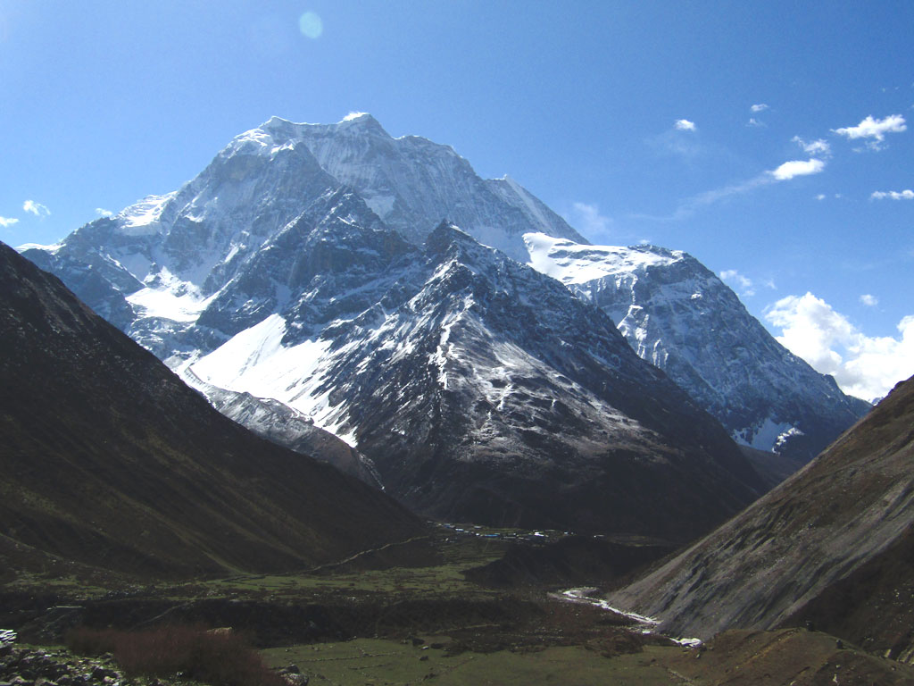
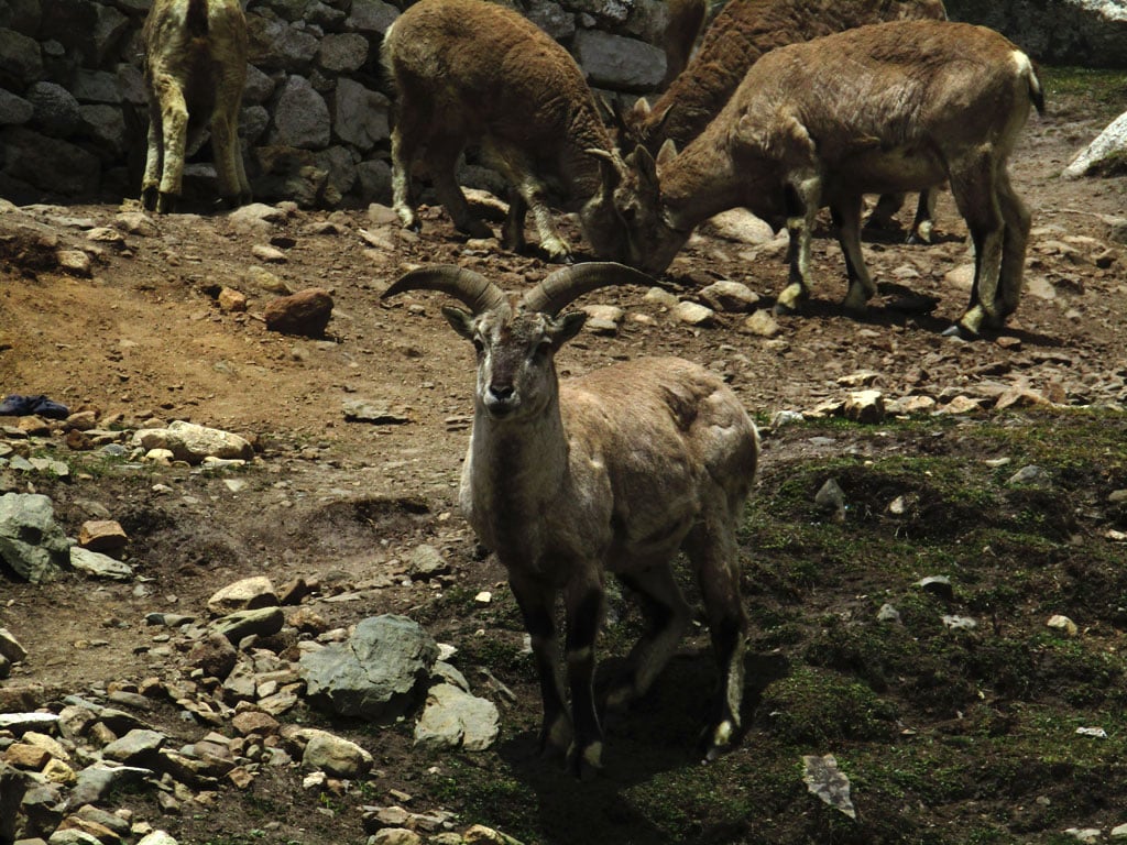
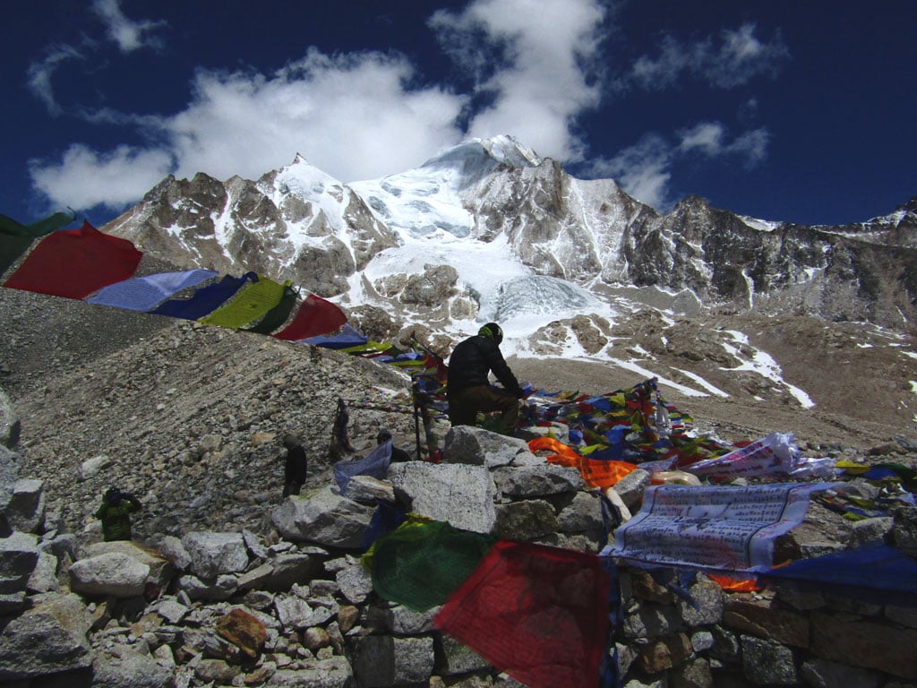
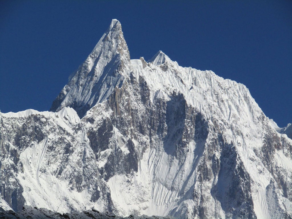
You also cross various cultural zones, from the Hindu villages at the beginning to the Tibetan Buddhist ones higher up. The trek ends at Dharapani on the Annapurna Circuit trail after some 14 days of walking. It’s not a trek for the faint of heart, but nor is it a forbidding one. Along the way you get to see spectacular peaks like the Ganesh Himal, Himalchuli, Peak 29, Manaslu, Manaslu North, Samdo, Cheo Himal and Himlung, to name just a few. The wildlife of the area is pretty spectacular too, from musk deer, tahr and the bharal to snow leopards in the upper reaches of the valley. If you’re looking for the ultimate all-purpose Himalayan trek, then this is it.
Stay tuned as we’re going to bring you a feature story on the Manaslu trek as well as a video feature soon.
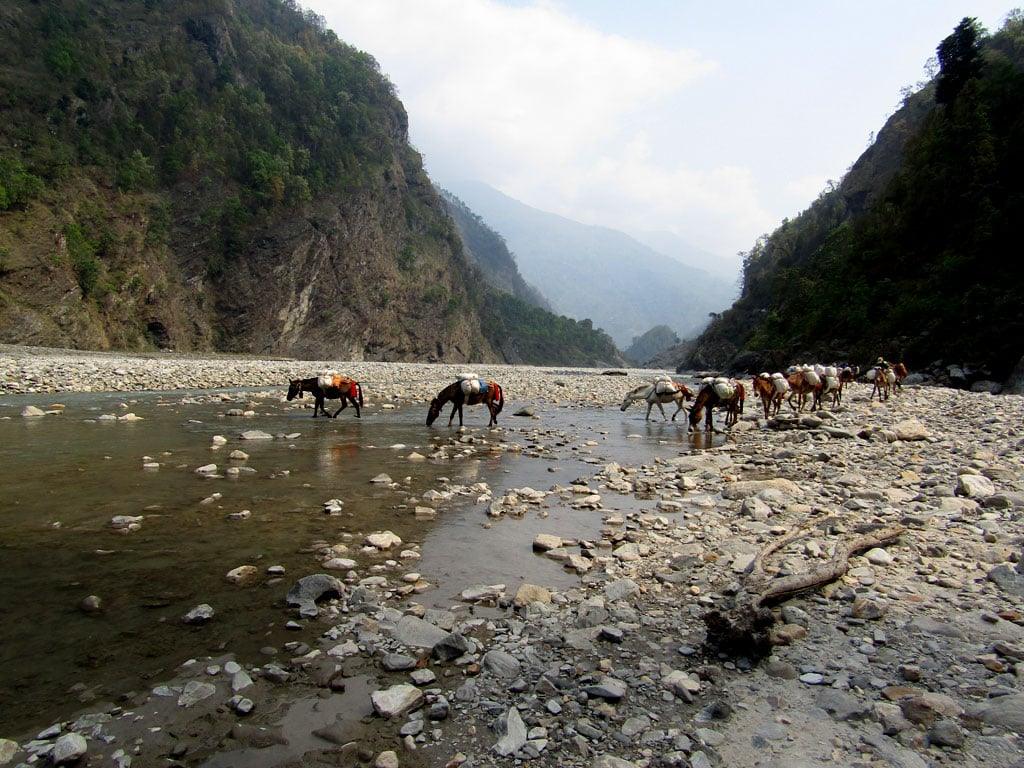
Budhi Gandaki River
Himalaya
Himalchuli