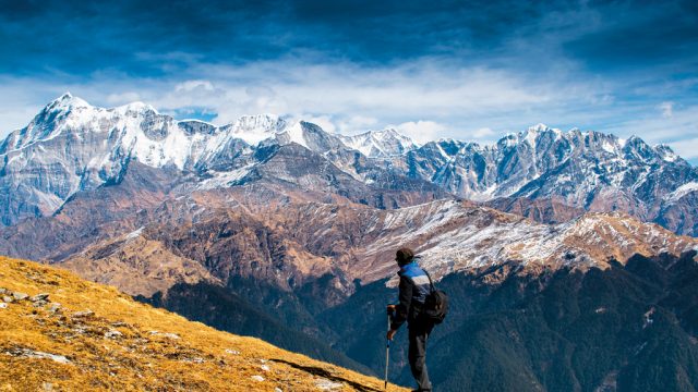
It had been a strenuous, uphill trudge to the pass—a nameless ridge-top clearing that threw
Offbeat and remote trails have always held a special attraction for me. So when this high-altitude lake in the Govind National Park in Garhwal’s Uttarkashi district was recently thrown open to trekkers via a new trail laid out by park authorities, I promptly signed up. The lake is highly revered by the residents of nearby Osla village, but trekkers have mostly bypassed it, moving straight on to the popular Har ki Dun valley instead.
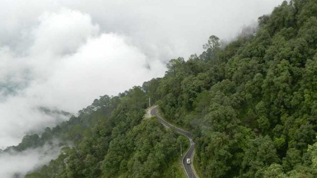
The contour maps of the area threw up a rather staid route for the 1,600m ascent to the lake. So our adept guide, Bhagat Singh, went on a recce and returned with suggestions for a more challenging trip along shepherd trails in the remoter recesses of the park. There were gorgeous meadows, pristine forest stretches and grand ridge-top views on the way. We ended up chalking out a superb route, where each day made for a fascinating hike.
For all the beauty, though, it was a very tough hike. But the tranquil waters of the Maldaru, when we reached it, were recompense enough. The lake itself, about 400m in circumference, isn’t large. Its waters flow into the Supin river below. On a clear day, the lake reflects the Swargarohini massif, which looms over it. And from August to end-September, the stunning Brahmakamal will flower along its banks. As we left, the skies brought down sheets of hail—a phenomenon attributed by our porters to the lake’s displeasure at our intrusion.
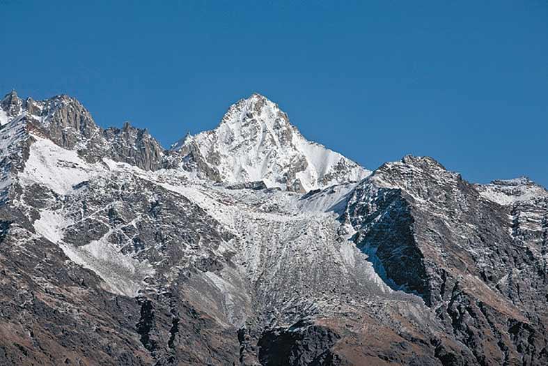
The next day, we made our way towards the Banya ridge, which offers an awe-inspiring view of a grand arc: Swargarohini, Hath Parbat, Kala Nagand Banderpoonch. The meadow finally dipped into the forest below, where we camped at Devsuthach at the confluence of the Rupin and Supin rivers. As we were finally exiting on to the Har ki Dun stretch, we encountered the waters of Maldaru yet again: this time as a charming waterfall near Osla. I bowed my head in obeisance, thinking back to Maldaru’s capacity for both fury and tranquillity, movement and stillness.
Although every day of the trek offered a heady mix of altitude and magnificent locales, the camp at Rashi stole the show. It was a gentle alpine meadow at 3,650m, hanging precariously on a mountain ledge, with a several thousand metre drop to the valley below. But even this paled in comparison with the immense scale of the landscape we were faced with on our final ascent to Maldaru. The snow domes of Ranglana and Hath Parbat pierced the sky to the northwest; on the east, the Manjukta Pass dipped to reveal the Yamunotri temple; and further north and east, the steep ascent opened up views of the sanctuary.
The villages on the periphery of our trek route seemed to be frozen in time, at least in terms of their customs, dress and beliefs. From the postcard-perfect village of Taluka, cloaked in fields of amaranthus, we travelled east towards Dhatmir—which smelt of fresh cedar and wooden granaries. Every home had its own granary, neatly compartmentalised for different grains. We went in early October, and the shepherds had just begun their descent from the upper meadows towards the warmer lower hills. Though most villages here have now converted to traditional Hindu practices, there was a time when they worshipped the Kauravas of the Mahabharata.
Alongside the many medicinal plants in the Govind National Park, the undergrowth also shelters beautiful clumps of fungi. But it’s the flowers that took our breath away, carpeting the route in all sorts of colours. There were dandelions, marsh marigolds, perky anemones, junipers and dwarf rhododendrons, and more. I also saw, in the alpine grass, the rare phenkamal, which looks like a widow in mourning, its bunch of purple petals shrouded in a glazed web of fading white.
Maldaru Pass
Uttarakhand
Leave a Reply
You must be logged in to post a comment.


