This trek follows a traditional trade route between Spiti and south-east Ladakh’s Rupshu region. Every
DAY ONE
KIBBER-THALTAK
TIME 6-7 HRS
Start walking from Kibber, which purports to be “the highest village in the world accessible by motorable road.” A walk through pastures and a gradual climb through a gorge opens out in a pleasant flat land called Dumla. Climbing on to the right side of the valley, one crosses springs and a small pass before reaching a pleasant campsite called Thaltak. From here one gets a complete view of the Kibber Wildlife Sanctuary area and the snow leopard ridgeline (one of the most probable areas to spot one). Thaltak is also a highland pasture for ibex and blue sheep.

DAY TWO
THALTAK-JUGTAK
TIME 7-8 HRS
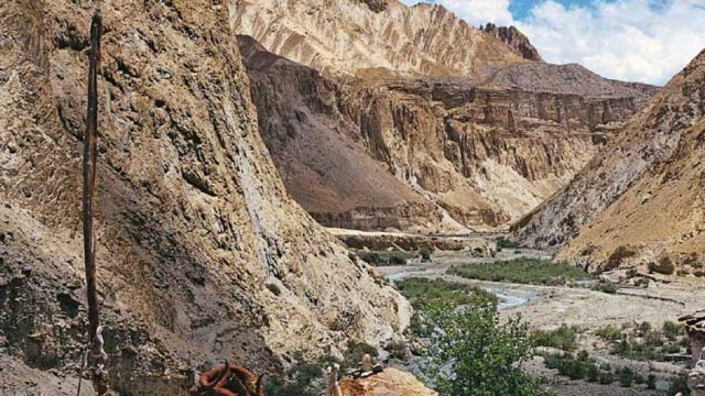
From Thaltak there is a descent through pastures and a steep and rocky gorge until you reach a riverbed. A short walk along (and across) the stream precedes the ascent for the base camp of Parang La. This is an arduous climb on loose scree and sometimes rocky terrain until you reach a flat patch of land with a spring. This place is called Jugtak and is the usual base camp for the pass ascent.
DAY THREE
JUGTAK-KARSHA GONGMA
TIME 6-7 HRS
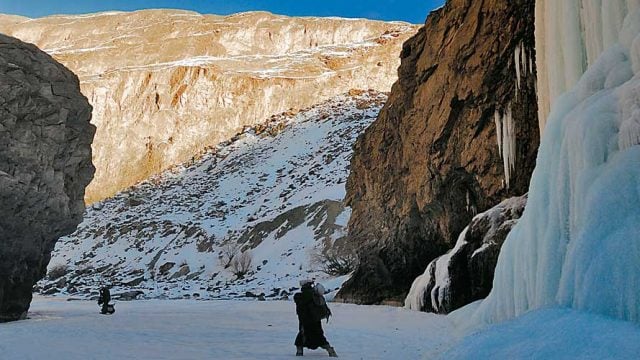
One of the most exciting days of the trek. The final ascent for Parang La (18,300 ft) begins, a gruelling climb, but every step is worth the view at the top — open snowfields surrounded by snow-clad peaks and wet icy walls. The descent along the Parang Glacier is gradual until you reach its snout and then negotiate a ridge of scree and ice, avoiding crevasses and under-streams before descending to the river bed. From here you cross the Pare Chu river, then walk along its left bank towards the basin to reach the campsite near the Karsha Gongma spring.

DAY FOUR
KARSHA GONGMA-THARANG YONGMA
TIME 7 HRS
From Karsha Gongma you cross the river again. The trail is marked by a number of campsites in the form of grassy patches with a spring to choose from and you can break your journey depending on how much you can walk. We camped at Tharang Yongma.
DAY FIVE
THARANG YONGMA-GETPA BUZAK
TIME 6 HRS
Continue walking through the same valley and camp at Getpa Buzak, which is a grassy patch besides the river with an open green valley on the opposite side of the river.
DAY SIX
GETPA BUZAK-NORBU SUMDO
TIME 5 HRS
This day is again spent walking along the Pare Chu river and crossing many side streams. It’s best to start early as the Pare Chu has to be crossed and its water level increases dramatically by noon. After a couple of hours you will reach a point at which the river meanders to the right. This is the place from where one makes the river crossing. After crossing the river you climb a ridge reaching a plateau.
Another half-an-hour’s walk takes you into an absolutely new world. This place is called Norbu Sumdo. It is one of the world’s highest ecosystems and, looking back at the Pare Chu, you can see the river going towards Chummur and the range behind that falling into China.
DAY SEVEN
NORBU SUMDO-KIANGDOM
TIME 5 HRS
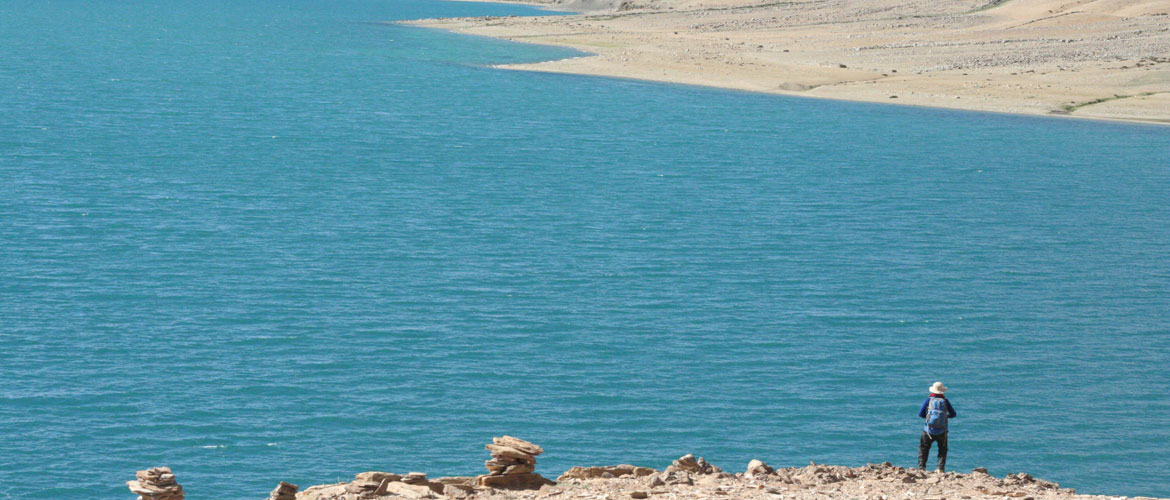
This day’s walk is along a huge marshy area with breathtaking views of migratory birds and wild kiang herds running about in the vast open grassy meadows. We took a break at Chummik Sharde (14,402 ft), a huge spring flowing into a marshy pond surrounded by wild flowers. From here starts a walk along the stony Phirtse river bed with the blue lake shimmering on the horizon. After a few hours you cross the Phirtse river to reach Kiangdom (a grassy meadow), just before Tso Moriri. Tso Moriri (14,432 ft) is 27 km long and 4-5 km at its widest. It’s like a huge spill of ink in the brown, barren landscape.

DAY EIGHT
KIANGDOM-KORZOK
TIME 6-7 HRS
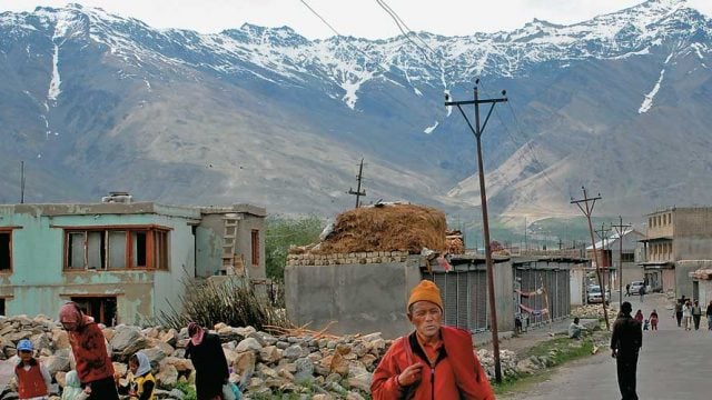
The last day’s walk to Korzok is along the left bank of the Tso Moriri lake. It is a long walk but every moment of it enjoyable and the view of the lake is breathtaking. As you continue to move southwards you glimpse of a couple of houses and a gompa perched on the hilltop. This is Korzok (see photo), your first glimpse of any human habitation since leaving Kibber.

PERMITS AND OPERATORS
The trek goes through areas close to the China border and Inner Line Permits are required for both Indians and foreigners to cross over from Himachal into Ladakh, as well as for overnight stays at Korzok. Getting both sets of permits can be especially complicated for trekkers who enter Ladakh from Spiti. The best solution is to get your permit in Leh, and do the trek in reverse, from Korzok to Kibber. Trek operators Dreamland (01982-257784, Web: dreamladakh. com) or The Nomadic Way (Tel: 255155, Mob: 09419178121, Web: thenomadicway.in) in Leh will arrange the trek, including permits.
Kibber
Korzok
Tso Moriri


