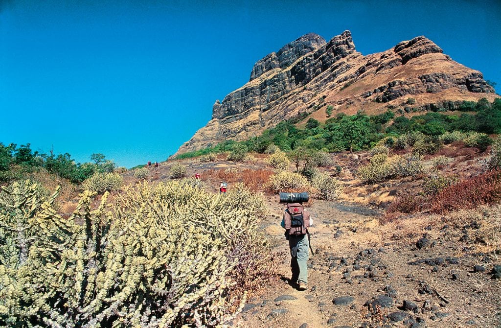
I had expected something a lot tamer. We had been scrambling through long, steep stretches of
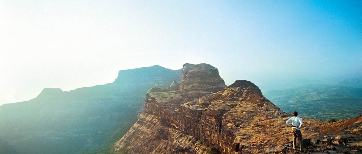
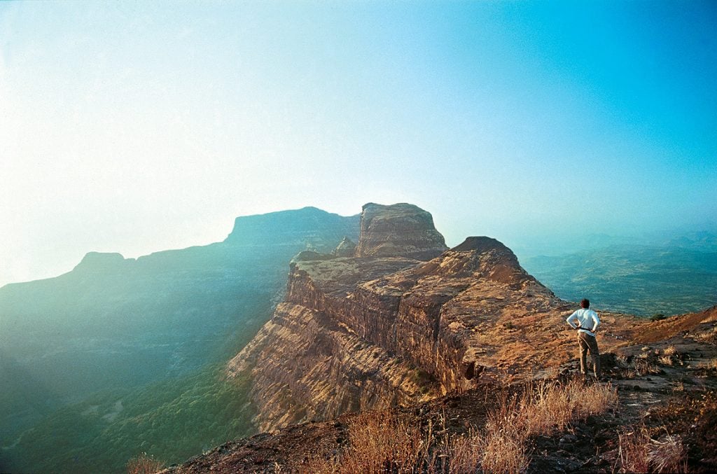
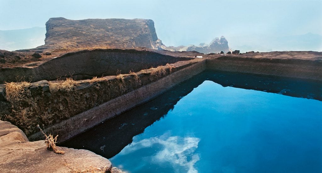
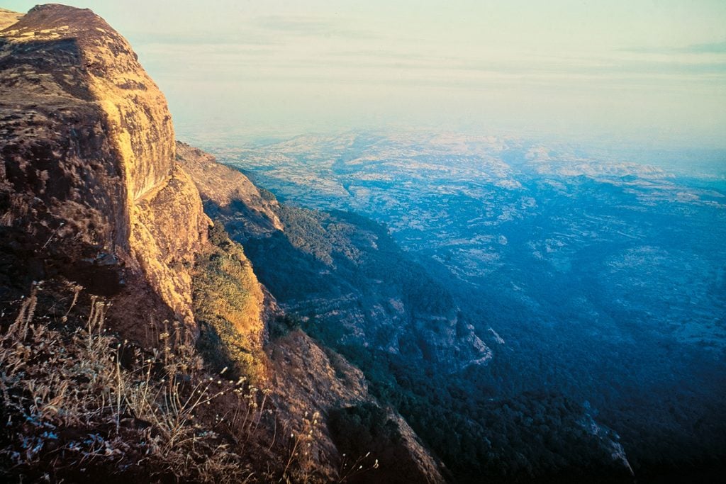
We finally reached the ruins of the flat-topped Alang Fort, just in time to catch a stunning sunset. Everything around us was bathed in the golden light reflecting off the fort, pouring into its caves from the horizon and mirroring the evening sky colours off its water cisterns, before plunging into the distant plains below and fading into the blue twilight.
Like Madan and Kulang—the other two hill forts forming the troika on our three-day itinerary through the Kalsubai stretch of the Western Ghats in Maharashtra—Alang had been built around the shape of the steep rock-form of the mountain itself. Maharashtra’s fascinating old hill forts are more giant hill carvings than constructions. Their designs were all about aligning human intentions with existing natural formations like caves, cliffs, gradients, ridges and even forests.
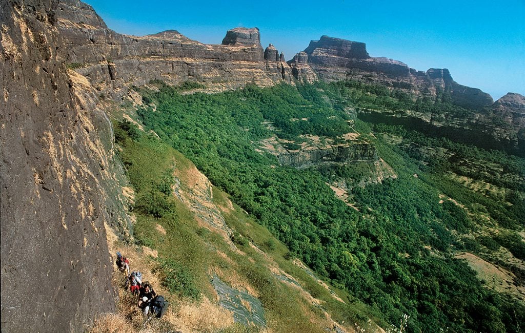
Though the origin of these three forts isn’t clear, the story of the range itself began some 70 million years ago, when molten rock poured out of cracks in the earth, laying a unique lava pile of hills, valleys and plains here, which we now know as the Western Ghats. This grand eruption, which went on for nearly 750,000 years, re-ordered the very evolution of life on earth. All these jagged-edged pinnacles, steep-faced plateaus and abrupt cliffs glowing before me were really lava sculptures moulded from magma, random works of art piling together, petrified into rock-forms on which lush forests now thrive.
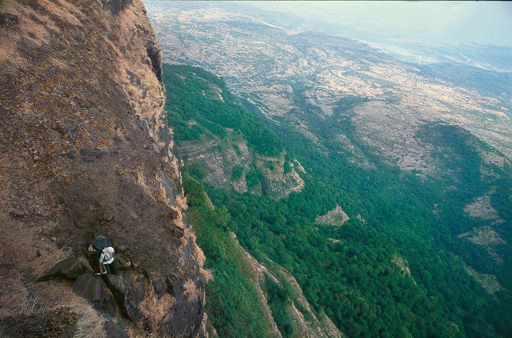
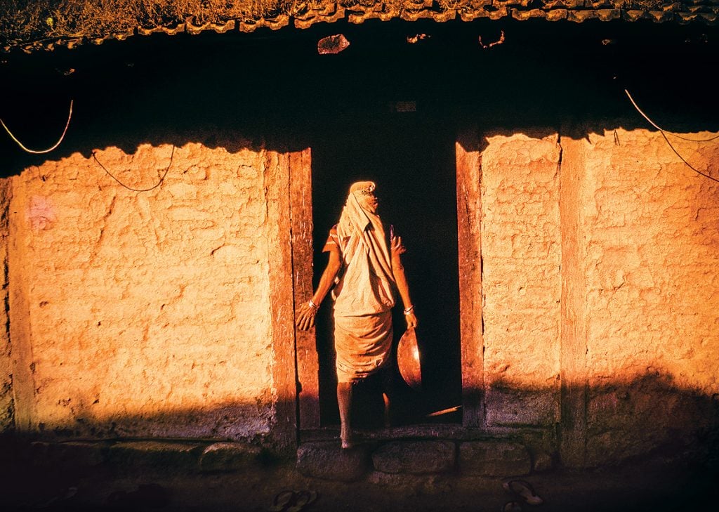
As night fell, we lit a fire, cooked a meal and spent the night in a cave. The following morning’s hike from Alang to Madan Fort was even more adventurous. Moving through vertigo-inducing, near-vertical paths, with a steep rock face on one side and a deep valley drop on the other, we eventually scaled a tough rock patch with ropes, and got past an exhausting round of steep mountain steps to reach Madan fort.
We were on a hazard high. The buzz continued and even multiplied later that afternoon, when we again proceeded to rappel down a fully vertical rock-face—a potential drop of some 3,000ft into the valley! We then descended through a trail leading to Kurangwadi, a tribal hamlet where we spent the night in a temple, before hiking again the next morning to Kulang. Things were much easier from here on. Though the gradient was steep, the route from Kurangwadi to Kulang was less extreme, and we reached the top of the sprawling fort in about three hours.
It was only long after doing this trek that I heard that the Alang-Madan-Kulang triad is acknowledged as one of the most dangerous climbs in Maharashtra, with cult status among risk-lovers. Theoretically, I can now see that a big part of this trip was dangerous and potentially scary. I didn’t notice it at the time, though; I was too busy falling in love with the place.
The information
The legendary Alang-Madan- Kulang hill fort triad located near the Kalsubai range, the highest section of the Western Ghats in Maharashtra, is a challenging trekking route. Altitudes here may be low by Himalayan or Alpine standards, but the terrain can be tough. It helps to be fit and disciplined with timelines, to avoid risky rock patches after dark. Go with rations, sleeping gear, good climbing gear and ropes, and do not attempt it unless there are at least two experienced climbers in the group who can lead.
Getting there
Ambevadi and Kurangwadi are the villages where this trek begins and ends, respectively. State buses, shared public vehicles and privately hired vehicles are available from Igatpuri/Kasara. Igatpuri (express train stop) and Kasara (local trains from Mumbai) are on the Mumbai-Nasik Route.
The Trek
DAY 1: From Ambewadi, trek uphill to Alang Fort (4,852ft). One small rock-climbing patch of 10- 15ft en route. Overnight stay in a cave at the fort. Approx 8 hours.
DAY 2: Alang to Madan Fort (4,842ft). Tougher uphill rock climbing stretch in the ascent to Madan and also a climb up weathered rock-cut steps. Descend to Kulangwadi Village. There’s a safe but breathtaking rappelling stretch on the way down. Approx 8 hours.
DAY 3: Trek uphill to the ruins of the Kulang Fort and back down to Kulangwadi. The easiest stretch; approx. 3 hours each way. There’s also a traverse route between the Alang-Madan route and the trail to Kulang, but finding it without a local guide can get tricky.
When to go
Between December and March. In the monsoon, the rock patches and steps can get too slippery; in summer, too hot.
Alang Madan Kulang
hill forts
Maharashtra


